The story of my life is one of admiration of public transit—both the successes in effectively using it, and the gut-punching moments of just missing it. These reflections on the highs and lows of being a perpetual user of public transit arguably take up more of my time than they should. My infatuation with all things on wheels or rails really comes from what they mean: an efficient, budget-friendly, environmentally conscious mode of transport that promotes equity, community, and a genuine interest in the working of local systems.
Like mid-sized cities in the United States, Baltimore has an established public transport system that, while in need of improvement, is robust in its offerings. America and its post-industrial cities tend to be woefully car dependent, but the services at your disposal mean you don’t need your own vehicle/be reliant on rideshares to get around—all it takes is a willingness to explore!
Here’s a summary of my most-used services in Baltimore:
Buses
Baltimore’s interconnected bus system has often saved me money I would otherwise have spent on rideshares. The Maryland Transit Authority’s (MTA) numbered buses span the entire city and have been a lifeline for all the bureaucratic work I’ve had to do, whether it’s to the Social Security Office, or more recently to the Maryland Motor Vehicle Administration to finally get my international driver’s license. The Charm City Circulator, operated by the City of Baltimore, is a collection of three FREE routes that circumnavigate downtown. The Purple line is a convenient way for Hopkins students to head to the Inner Harbor, with Homewood as its first stop. The bus is always welcoming, the drivers always prioritizing safety, and my fellow Baltimore residents always cordial!
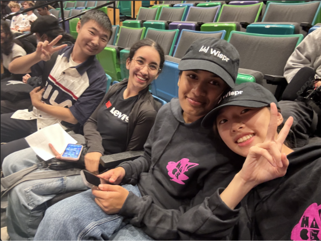
Most memorable bus experience
I was running in Herring Run Park (east of campus, close to Lake Montebello) on the first day of the summer, in temperatures upwards of 33 C (91 F) with no water. When the dehydration set in (around kilometer 8/mile 5), and I knew running back would be unhelpful, I relied on Bus 22 to get me!
Light rail
As of 2024, we only have a single Light Rail route that connects the suburbs in Baltimore County to BWI Airport down south (with a new proposed route, the ‘Red Line,’ in progress). If you’re willing to take a bus to Penn Station (a 10-minute ride) and walk for few minutes, you can ride the rail straight into Terminal E of the airport for as little as $0–$2. A Lyft/Uber would cost you $35–$40, and the views as you cross the river are priceless!
Most memorable Light Rail experience
Coming up with eight pages worth of ideas with my best friend for our upcoming children’s book, ‘My Big Book of Baltimore’s Buses,’ in stores near you very soon (probably not)!
MARC (Maryland Area Regional Commuter)
This train to the nation’s capital is a godsend for commuters everywhere, whether you’re travelling for work or just to see the sights! While single-way tickets can cost you $9, if you buy in bulk, you can average them out for just $6.50. Compared to the one-way Uber costing upwards of $70 (on a good day), the safe, comfortable, and reliable MARC train must be your first choice!
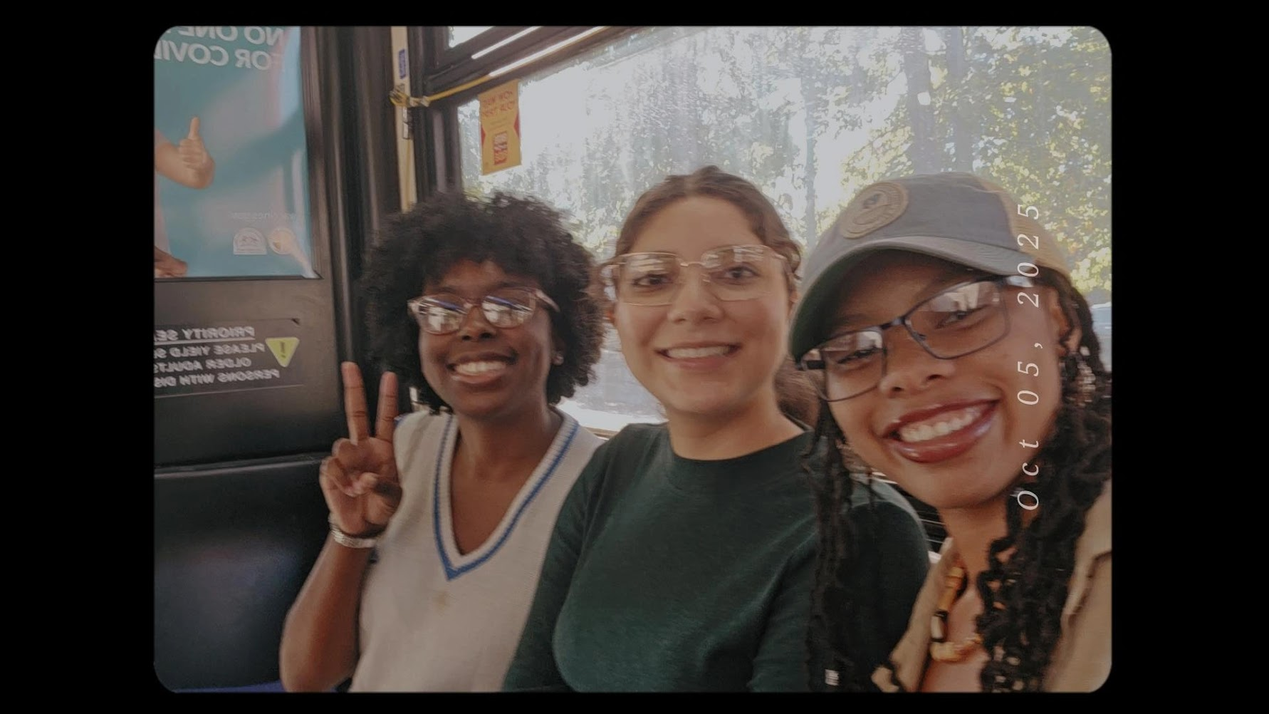
Most memorable MARC experience
Catching the 9:30 p.m. train to Washington, DC, the last one on Fridays, to paint the town red with some of my closest friends. After a long workweek, the train ride (which was only a warm-up to our evening plans) became the best part of that trip!
Honorable mentioN: DC Metro
Washington, DC’s incredibly well-planned metro has six lines (the seventh on the way!) that connect you to anywhere in the District and its neighboring states. Fairly affordable, it’s great for longer travel (while being a solid option to see the sights). I use a bus-MARC-Metro-Metro combination to get to Dulles International Airport from my house in Baltimore, all for the low total cost of $12 ($8 on the weekends!).
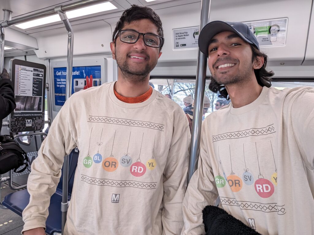
Most memorable DC Metro experience
It’s hard to pick a favorite. My friend (the same crazy co-author mentioned above) and I invested in holiday metro merchandise and sported it on our semesterly DC trip (this time to see the Cherry Blossoms!). Many metro employees loved seeing us wear such festive transit sweaters!
Feels like a lot of information? It probably is—it’s taken me a while to get used to it, as I am sure it will for you too! To aid in this transition, here are a few helpful apps to know about:
- Transit: This is an app to check on public transit! Available in a lot of cities, including Baltimore and Washington, DC, it’s a helpful tool to plan rides, especially when using multiple modes of transport. Unfortunately, they are beginning to gatekeep most services behind a paywall; still, it’s great, especially for real-time tracking and current location mapping.
- Google Maps: Maps is steadily including more information about transit, increasing the scope of its tracking features, and is a great tool to plan. It may not always have the most recent updates to schedules, but it’s an awesome tool.
I can say this with confidence: If you’re committed to finding affordable, convenient, safe, and reliable transportation, it’s there for you in Baltimore! While Charm City and its transit have its own issues (historical/sociological, which I hope to explore in a future blog), it’s still important for us to utilize as residents of this city. Rideshare apps will always be an alternative, but I hope they don’t become the norm!

P.S. This is just part 1! Stay tuned for a deep dive on Hopkins transportation!